01
The problem
Satellites, sensors, ERPs and reports keep information in separate places. Cutting emissions, optimising resources and managing risks means connecting it.
Solutions
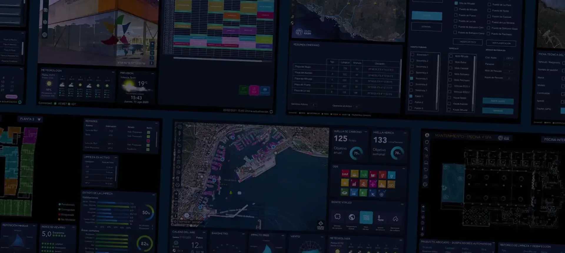
We bring together satellite data, IoT sensors and your management systems to monitor, predict and optimise in real time.
The challenge
01
Satellites, sensors, ERPs and reports keep information in separate places. Cutting emissions, optimising resources and managing risks means connecting it.
02
New requirements are arriving, such as the CSRD, the EU Taxonomy and the Digital Product Passport, and droughts, wildfires and floods are becoming more frequent.
03
TrueWorld brings all your data sources together, turns them into information with digital twins and predictive models, and helps you monitor, predict, verify and report in real time.
Fields
The same technology, adapted to each setting: cities, the sea and the land.

Cities and destinations
We measure carbon footprint, energy, water and waste, and build digital twins of buildings, infrastructure and cities.
Oceans and the blue economy
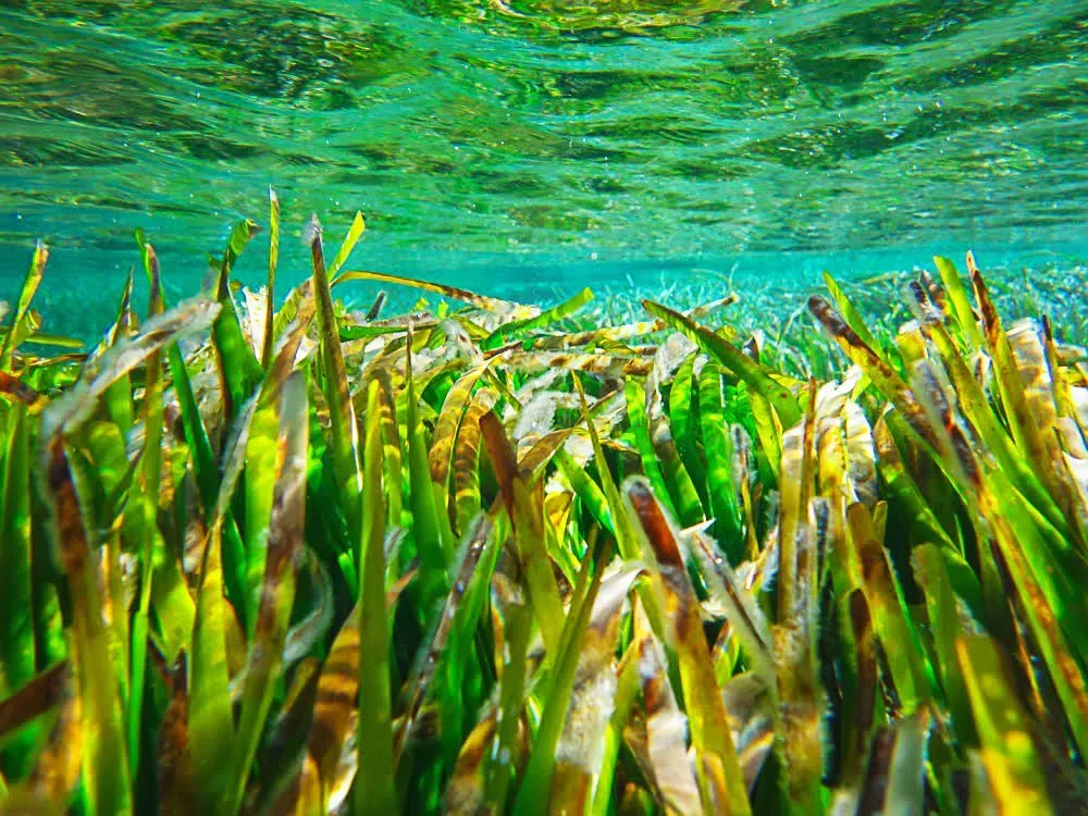
We monitor ports, coasts and marine protected areas, offshore operations and blue carbon, with marine sensors and satellite data.
Land and agriculture
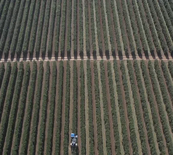
We measure and verify agricultural and forest carbon, anticipate climate risks and develop carbon credit and natural capital projects.
Solutions
Our own technology and scientific expertise, in modules you combine to suit your needs.
Land intelligence
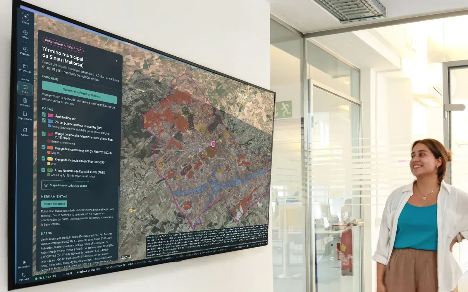
A geospatial viewer that brings together the official layers for your territory, from terrain and water to soil and biodiversity, so you can understand it and plan its adaptation to climate change, with the source of every data point and a report to support decisions.
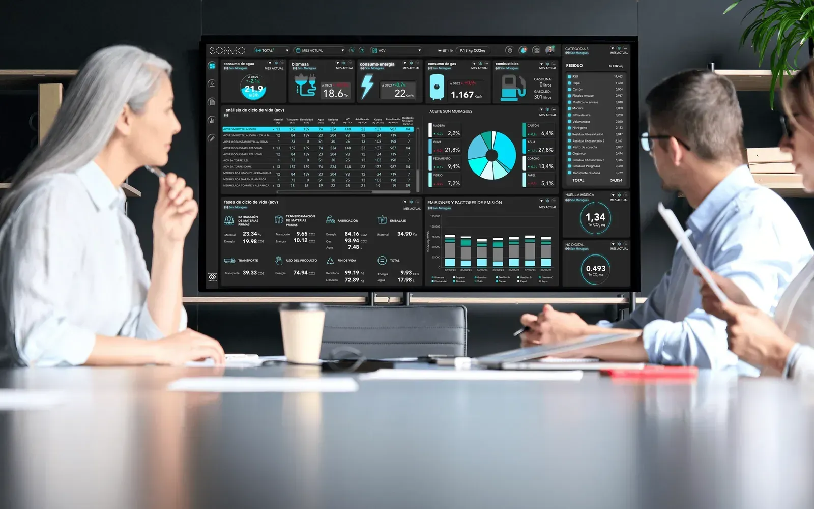
Responsible business
The tool to manage your organisation's environmental and ESG performance: carbon and water footprint, energy, water, waste and circularity in real time, with models that anticipate and the reports you are asked for.
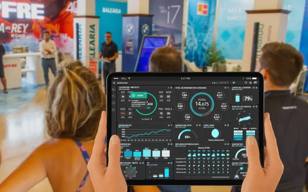
Responsible event
For sporting and corporate events, fairs and conferences: we measure scope 1, 2 and 3 carbon footprint in real time, prepare a reduction plan and manage verification and offsetting.

Port intelligence
Predictive intelligence for ports and marinas: it builds the port’s digital twin, connects sensors and public sources, anticipates which service could fail and when, and keeps every data point traceable on blockchain.
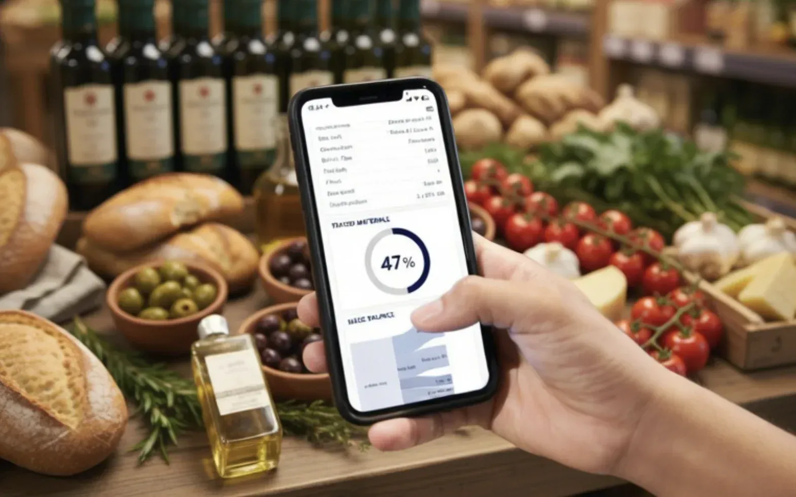
Responsible product
Turn each product into an auditable digital asset: it connects to your ERP or MES, measures its carbon footprint and life cycle under ISO 14040, and brings its certifications and labels together on its own page with a QR code.
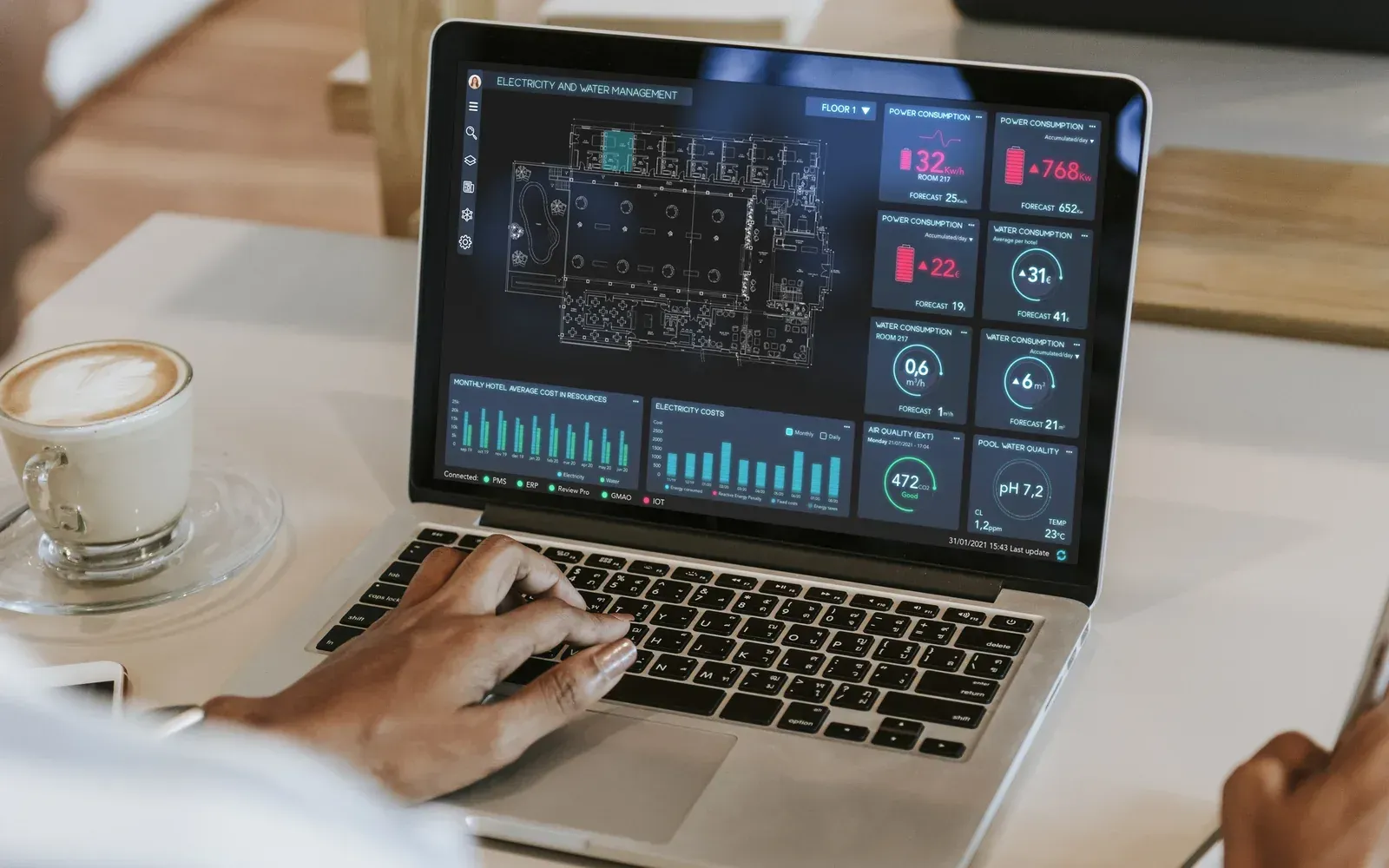
Tourism intelligence
Bring ESG criteria into the day-to-day running of your accommodation or destination: measure waste at source, cut what goes to waste and move towards a circular economy with verifiable data for your reports and certifications.
Audit and consulting
A technical team that helps you measure, comply and see your projects through.
01
We prepare your footprint, inventory or project for verification and coordinate the audit with an ENAC-accredited body until the certificate is issued.
02
Diagnosis, climate strategy and reduction plans, and we help you respond to the CSRD, non-financial reporting, the EU Taxonomy and what clients and tenders ask for.
03
We design and manage environmental projects from start to finish: restoration, carbon credits with our own MRV methodologies and innovation projects.
Sectors
Every sector has its own obligations and risks. Choose yours.
Plan land, coast and services with official data and models that anticipate risks.
Port operations, emissions and risks on a single dashboard, with traceable data.
Destinations and accommodation that need to adapt to the climate and answer clients and tour operators asking for data.
Sponsors and audiences expect responsible events: measure the footprint as it happens and reduce it at the next edition.
Infrastructure that cannot fail: consumption, facilities and demand, anticipated.
Clients, banks and tenders already ask for your footprint: measure it, reduce it and get ready for the CSRD and non-financial reporting.
Distributors ask for data on every product, and the EU will require the Digital Product Passport.
Soil, water and climate for your territory in a geospatial viewer, to plan its adaptation to climate change.
Case studies
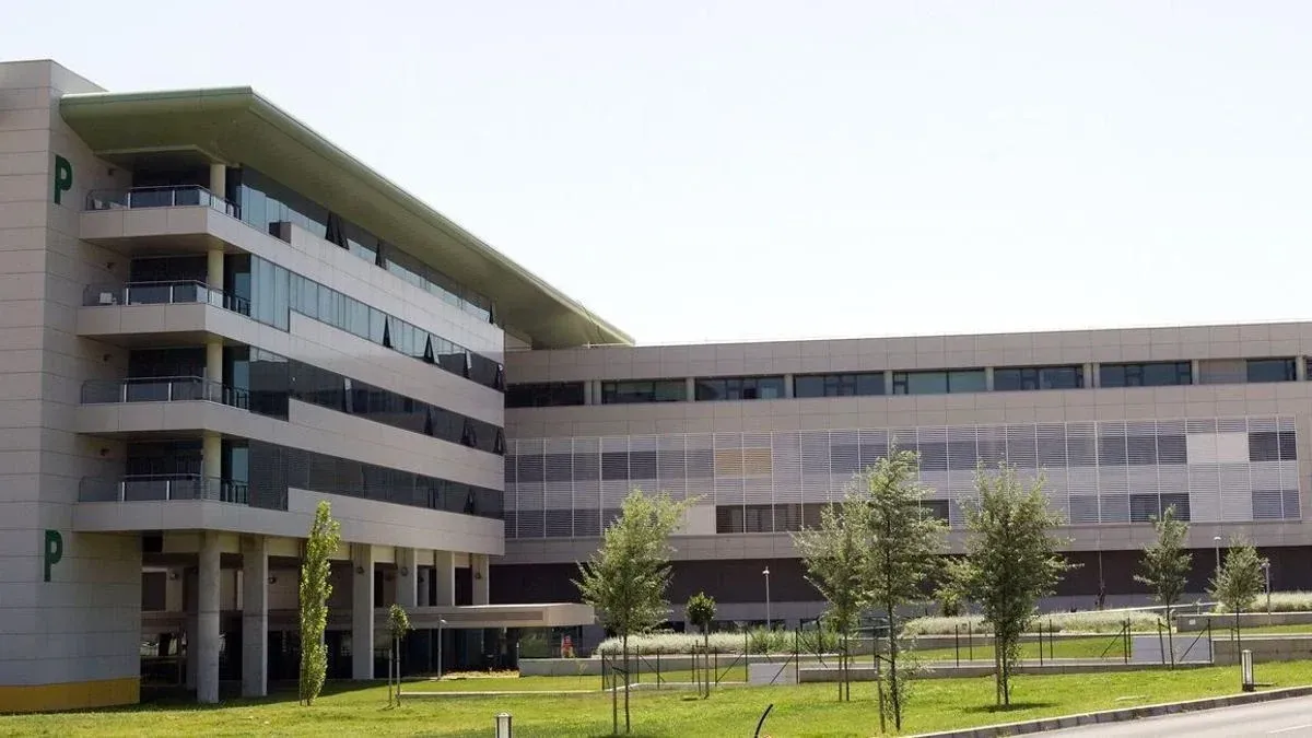
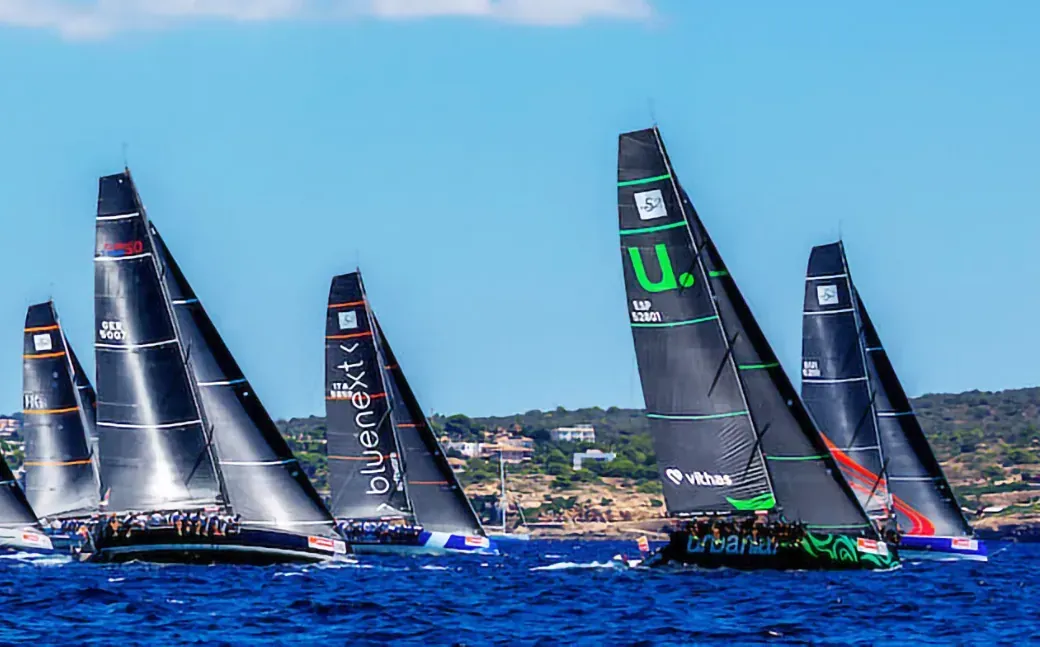
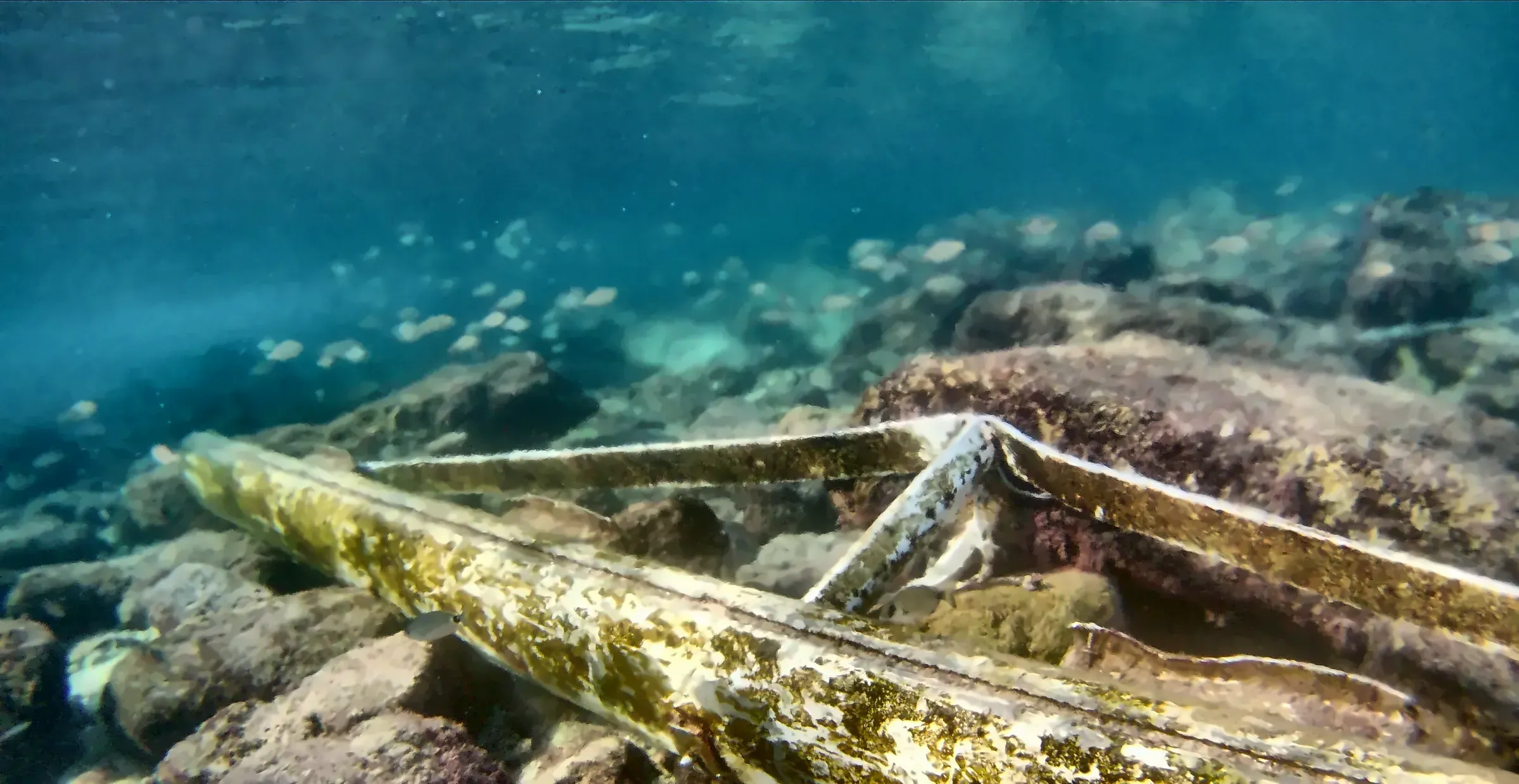
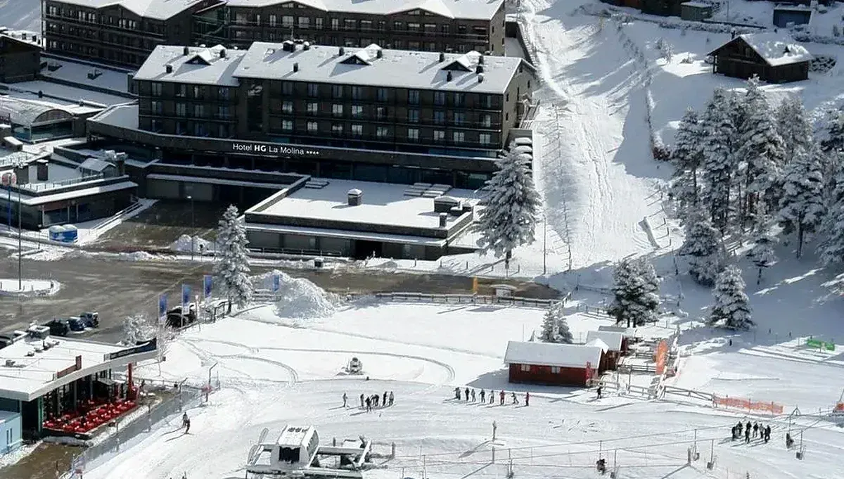
Why TrueWorld
Our own scientific models and environmental expertise.
Monitoring, analysis, prediction, verification and compliance in one modular solution.
MRV and blockchain for the traceability and integrity of data and results.
Works with the systems you already use through open APIs and standards.
A platform that adapts to different sectors, industries and regions.
Used with public bodies, international organisations and businesses in real projects.
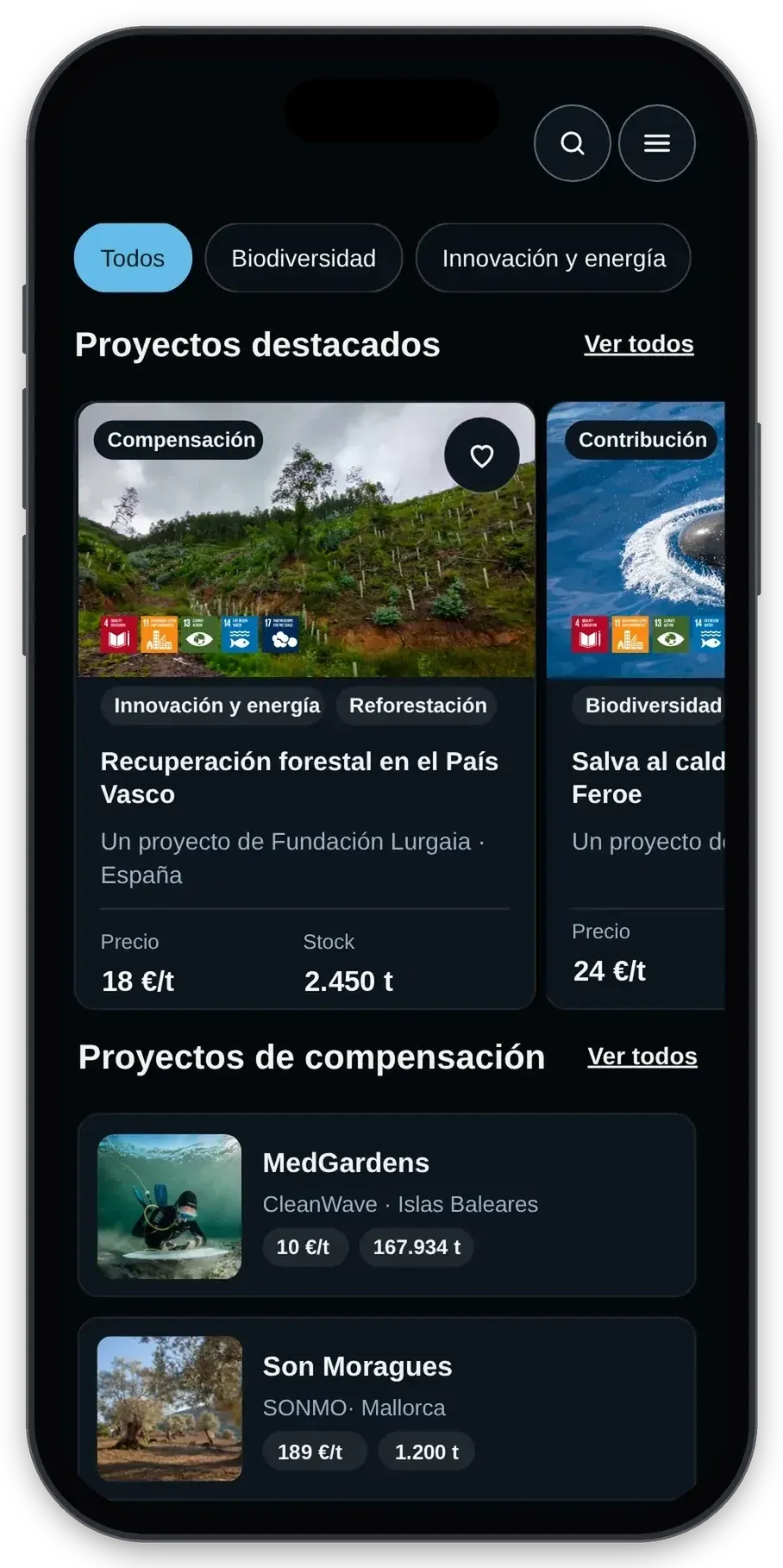
Offset with Projects
On Projects you choose a certified project, decide how many tonnes to offset and the offset is recorded in your name. You can also support restoration and social impact projects.
What people ask us most before getting started.
No. We measure and prepare the report; certification is issued by an ENAC-accredited body. That way, the one who measures is not the one who certifies.
No. TrueWorld works with the systems you already use through open APIs, such as SAP, Siemens or Power BI.
We multiply each activity (for example, the electricity an office uses) by an emission factor that shows how much CO₂e it produces.
It is the unit used to compare greenhouse gases by how much they warm the planet, with CO₂ as the reference. It uses IPCC conversion factors to express the whole impact as a single figure.
It means funding projects that reduce or absorb emissions in a measurable, verifiable way, and that often would not go ahead without that funding.
Projects (renewable energy, efficiency, forest protection or reforestation) meet international standards and are audited. Credits are only issued once the reduction is verified, and they balance the emissions that cannot be avoided.
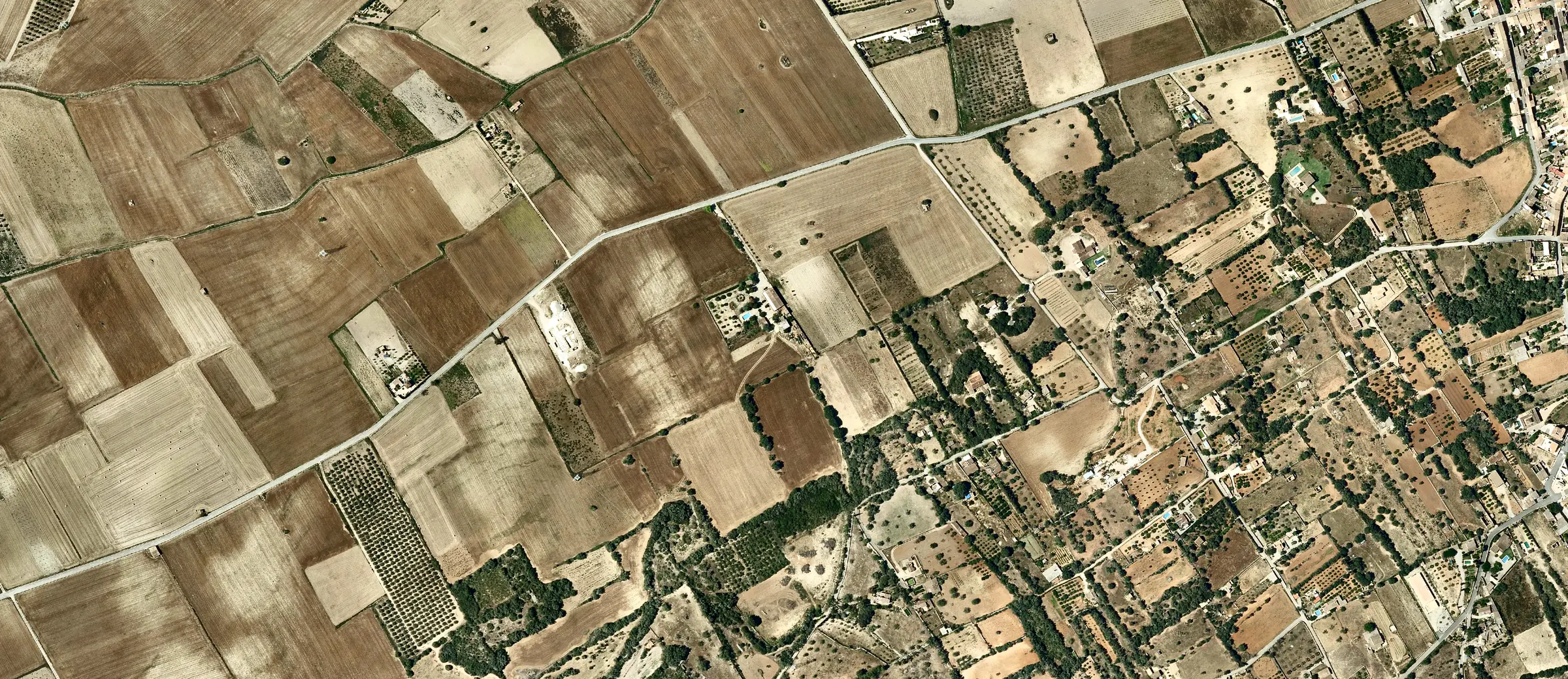
PNOA orthophoto courtesy of © Instituto Geográfico Nacional