-
On 14 and 15 May 2026, ParcBit hosted the third Balearic Islands Geotechnology Conference, organised by the Balearic Islands Cartographic and Geographic Institute (ICGIB) and the Centre for Geographic Information Technologies at the University of the Balearic Islands. The event brought together public authorities, academics and businesses to share the latest advances in geospatial technology, in the year marking ICGIB’s 25th anniversary.
At TrueWorld, we felt right at home: our headquarters are at ParcBit, and geographic information underpins everything we do.
Data governance in island regions
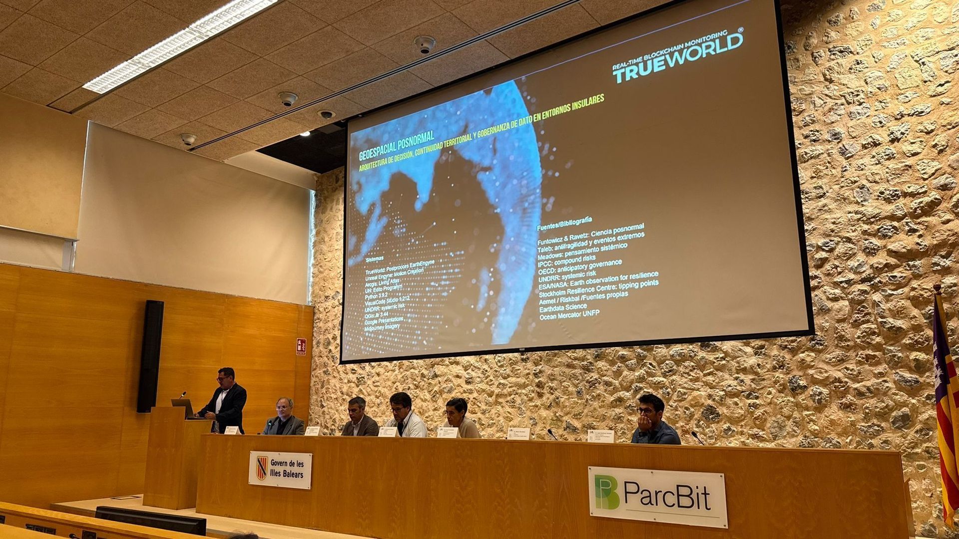
On Friday 15 May, our CEO, Marco Mendoza, spoke in the session “Towards new approaches to governance and territorial intelligence”. His presentation was titled “Post-normal geospatial thinking: decision architecture, territorial continuity and data governance in island environments”.
At its heart was a question: how can technology help our islands become more resilient? With limited land, significant exposure to climate change and intense pressure from human activity, islands like ours need timely decisions informed by the best available evidence. Having data is not enough: it must be connected, reliable and available to the people making those decisions. That is why the conversation needs to address decision-making frameworks and data governance as well as technology.
It was a privilege to share the day with an outstanding group of experts: Sebastián González, Director-General for Innovation and Digital Transformation at the Balearic Government; Bartomeu Alorda, Director of Espai Cotib at the UIB; Sara Fernández Vázquez, from IBESTAT; José Jiménez Viciano, from Esri Spain; Dr Maurici Ruiz, Director of CTIG-UIB; Dr Julián García-Comendador, from the UIB’s Natural Hazards Observatory; Empar Benlloc Pérez, from the Balearic Government’s Directorate-General for Emergencies; Xavier Llort, from HYDS; and Joan Alorda Vilarrubias and Fèlix Escalas, from ICGIB.
Three themes from their contributions particularly resonated with us: the potential of digital twins, the importance of interoperability across public authorities, and the value of well-connected local infrastructure. We would also like to acknowledge the contributions of Àgueda Jordà, Antoni Mira Sánchez, Santiago Ribas González and Eugenio Sanchis to the closing roundtable on ICGIB’s 25-year history.
From geospatial data to informed decisions
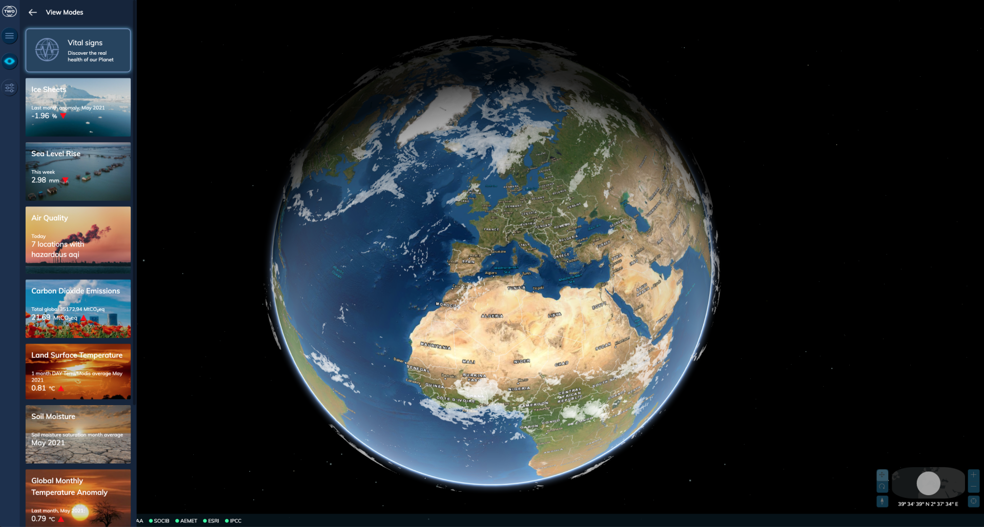
This perspective directly reflects our work. Our public climate change observatory brings together information from satellites, sensors and geographic information systems, turning complex data into accessible knowledge for businesses, public authorities and the wider public.
Our sincere thanks go to ICGIB and Fundació Bit for organising such a valuable event and inviting us to contribute, and to Àngels de Haro, Managing Director of ICGIB, and regional minister José Luis Mateo Hernández for closing the conference. Congratulations to the Institute on 25 years of providing geographic data and services for the Balearic Islands. We look forward to building on this work together.
View the programme: Third Balearic Islands Geotechnology Conference
Más notas de prensa...

Compartir
También te puede interesar...